

"We are an all-inclusive shop for land development requirements”
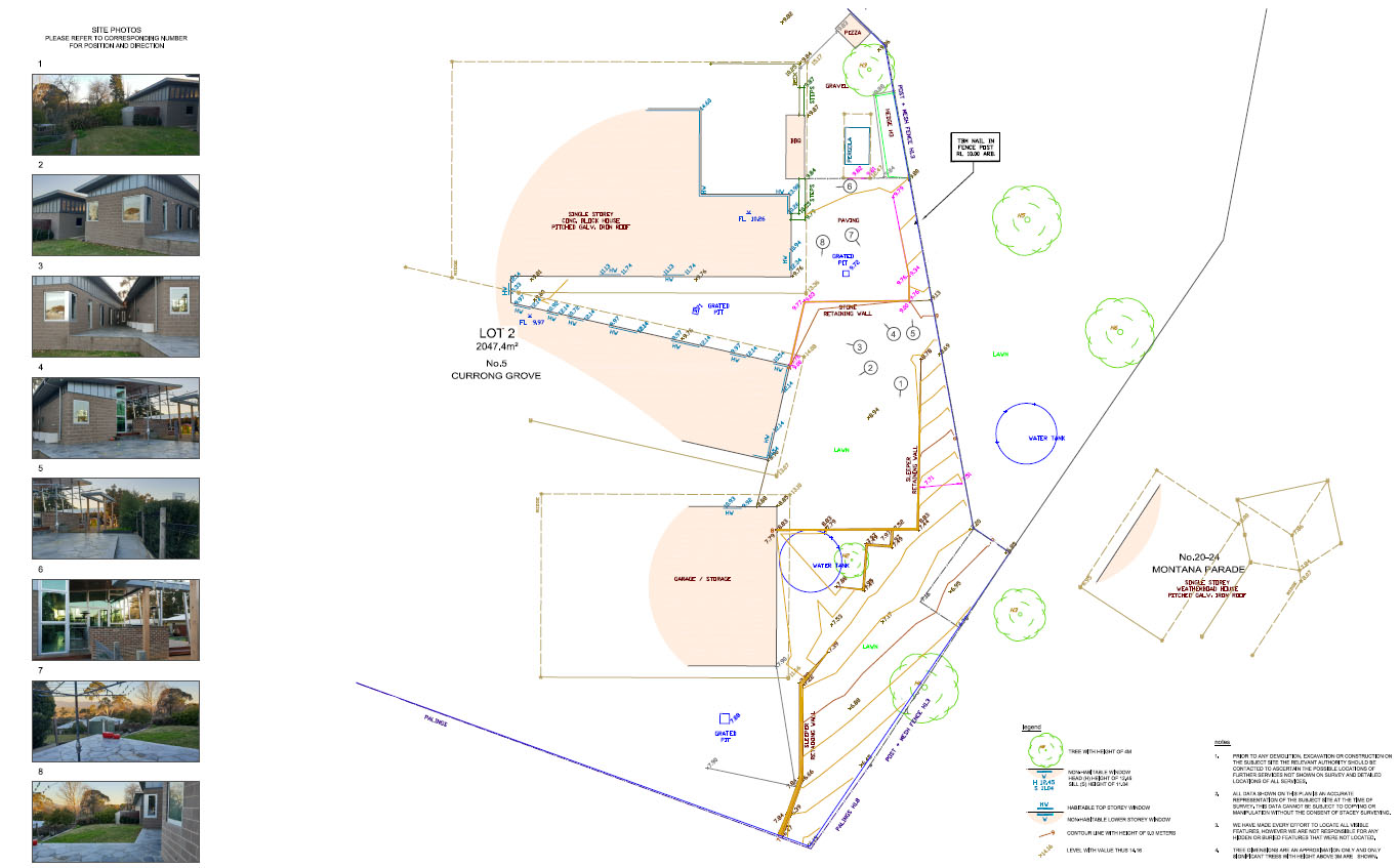
A feature and level survey records everything that exists on your site. This includes fences, buildings, trees, services and ground levels. This is so your architect, builder or town planner has an accurate base plan from which to design. It’s the starting point for virtually every land development project. Getting it right saves time and costs further down the track.
At Stacey Surveying, we’re licensed cadastral surveyors producing council-ready level and feature surveys for Melbourne homeowners, developers and design professionals throughout the metro area and regional Victoria.
A complete feature and level survey plan from our Melbourne team captures everything your design team needs, including:
Once the site work is done, your plan is drafted and delivered in PDF and CAD (DWG/DXF) format. This is ready to drop directly into the workflow of your architect, building designer or town planner without the need to re-format or re-draft.
You’ll need a feature and level survey for any project where the existing site conditions must be accurately recorded. Scenarios include:
In almost all cases, a feature and level survey needs to be completed before any design or planning work begins. This is so that the rest of your project is built on accurate information.
We first confirm precisely what your council, architect or builder needs, so the survey is scoped correctly from the beginning.
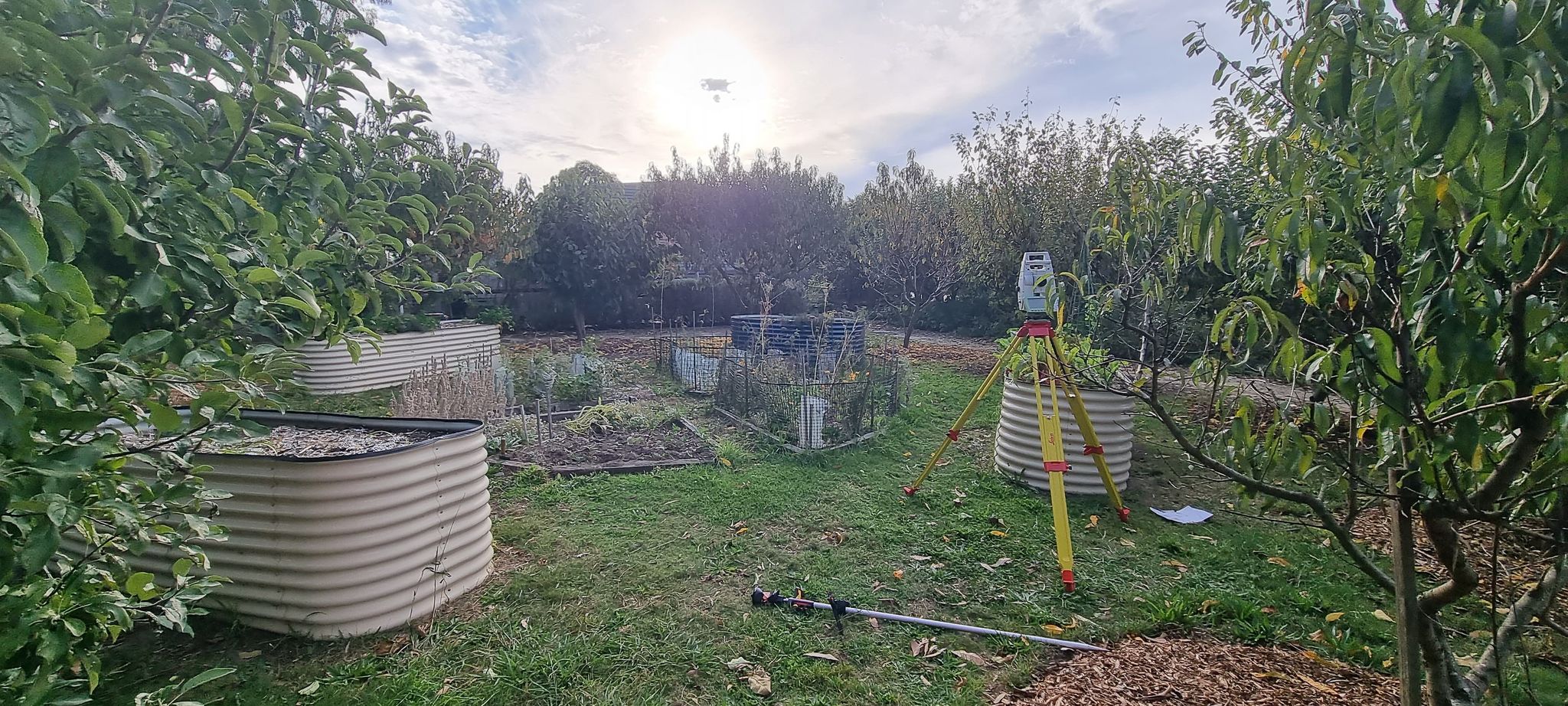
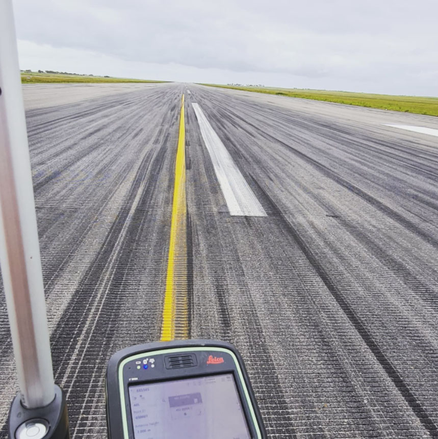
Our surveyor visits the site to record features, spot levels and contours using total stations and GPS equipment for exact, reliable data.
Where required by your council, all levels are tied to the Australian Height Datum so that your plan meets official lodgement standards.
In the office, we draft your plan with full feature and level details, then run it through an internal QA check before releasing.
We issue your finished plan as PDF and CAD (DWG/DXF), ready for your design team to drop it straight into their workflow so planning can move on without delay.
Yes, most Victorian councils require a feature and level (or site analysis) survey to support a planning permit application. This concerns new builds, extensions, subdivisions or unit developments. Our plans are prepared to council standards so they can be lodged with complete confidence.
Many residential surveys are completed and delivered within 5–10 business days. Turnaround can vary depending on site size, complexity and AHD requirements. We can usually accommodate urgent jobs. Simply let us know your timeline when you book.
Contact the experts at Stacey Surveying for more information about our feature and level surveys, including our topographic survey and feature survey plans. Give us a call on 03 9088 3695 or message us online.
Got a query related to land development for your Melbourne property, or want the advice of a private land surveyor based in Melbourne? For more information about our land surveying services in Victoria, contact Stacey Surveying today by calling 03 9088 3695 or completing our convenient online contact form.
©2026 Stacey Surveying. All rights reserved. ALS ZLS PTY LTD – ABN 700 318 930 ACN 17 700 318 930